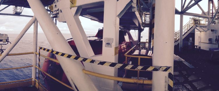
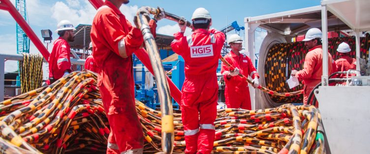
Geophysical Survey

Geophysical Survey

HGIS offers vast services in the Geophysical Survey industry for Onshore, Offshore and Near-shore operations. With all means, HGIS is committed to maintain its quality through specialized skills, technological advanced equipment and high quality data acquisition to serve our clients.

Our Services Includes:

  • Offshore and Near-shore 2D High-Resolution Seismic Data Acquisition, Processing & Interpretation
  • Near-shore and Offshore Geophysical Survey (Pre & Post Installation Survey)
  • Near-shore and Offshore Bathymetry Survey
  • Geo Hazard Site Investigation Survey
  • Hydrographic Survey
  • Pipeline Engineering and Hazard Survey
  • Pipeline/Cable Route Survey
  • Telecommunication Route Studies
Navigation & Positioning

Navigation & Positioning

HGIS derives and establishes a specific number of benchmarks navigational signals to provide precise navigation coordinates for positioning system. By utilizing the latest Differential Global Navigation Satellite System (DGNSS), accuracy and precision forms HGIS as one of the best local service provider.

Our Services Includes:

  • Surface and Acoustic Positioning for all types of drilling rig, platforms and pipelines
  • Rig Move by using State Space Solution with Precise Point Positioning technology. Independent computing of GPS clock and orbit corrections
  • Anchor Handling for Barge or other Marine Vessel
  • Subsea Structure and Equipment Monitoring
Geodetic Survey

Geodetic Survey

Geodetic surveying is a specialised type of surveying that considers the size and shape of the earth, given that the earth’s surface is curved and uneven. Great understanding of these variables equipped with specialized equipment are required to achieve accurate survey results.

In the realms of Geodetic Survey, HGIS expertise in precision control tops its performances in the following services:

  • Platform Deformation Survey using Precise Leveling Run method to measure elevation. Known to be the most accurate and the method to produce the best quality result in Deformation Survey
  • HGIS also offers Static Surveying and Kinematic Surveying methods by using the Global Navigation Satellite System (GNSS) to create adjustment models and perform analysis
  • HGIS also offers Platform Verification Survey for position and dimension verification
Scroll Up