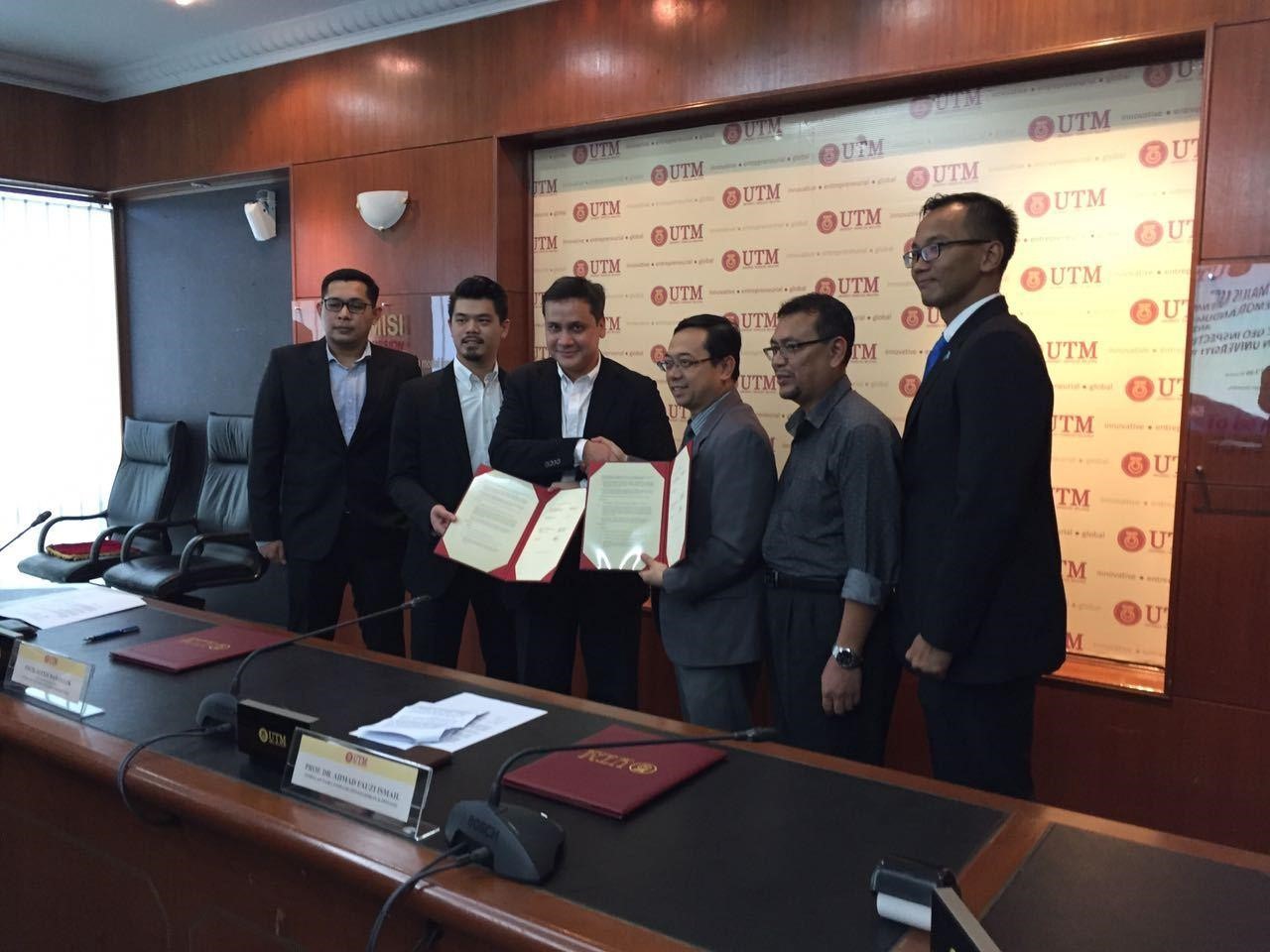
Provision of Analogue and Digital 2D High Resolution (2DHR) Site Survey Services for Sarawak Shell Berhad & Sabah Shell Petroleum Company Ltd

TAKE A LOOK AT SOME OF OUR FEATURED PROJECTS

project description

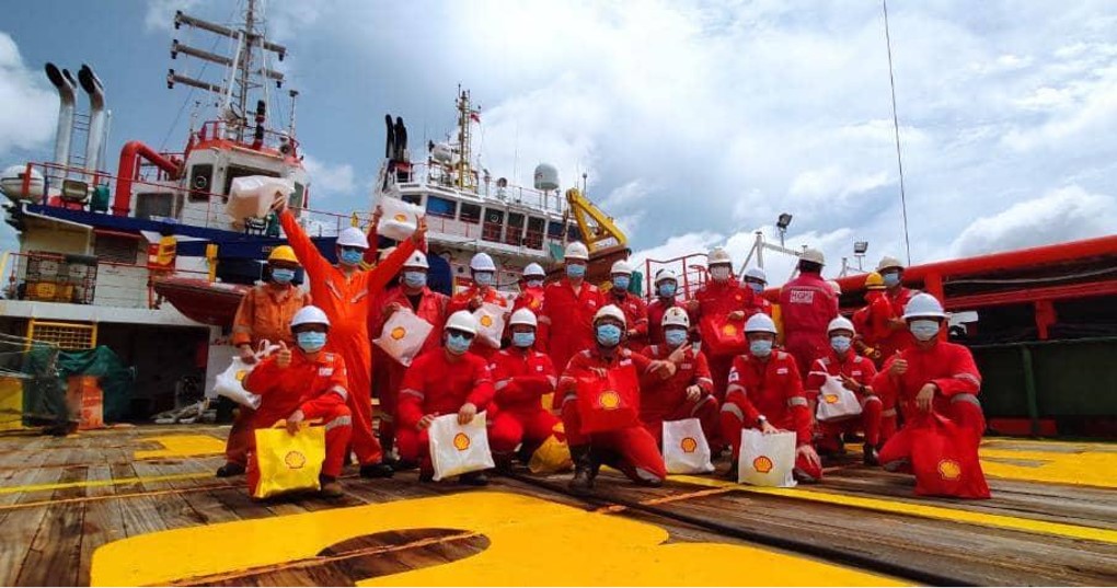
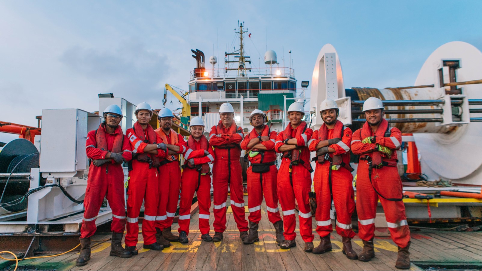
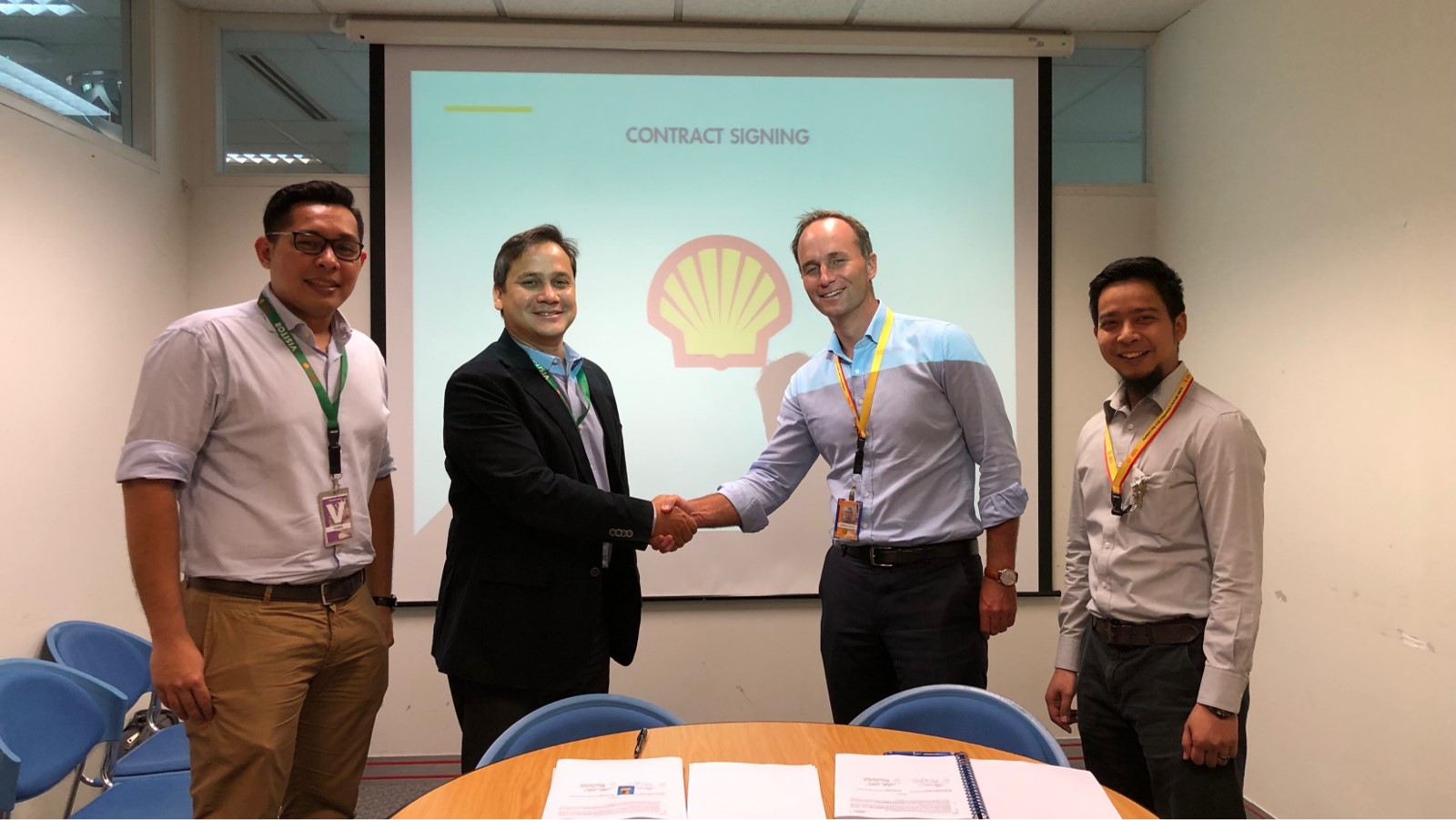
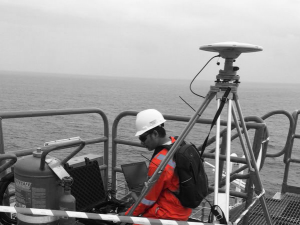
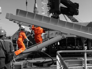
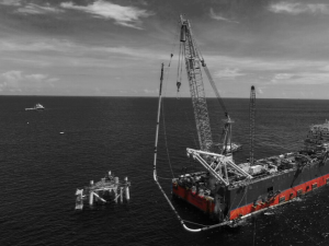
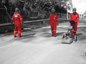
HGIS bagged two long term contracts from Sarawak Shell Berhad and Sabah Shell Petroleum Company Limited (SSB/SSPC) for 3+1 Years in February 2019.

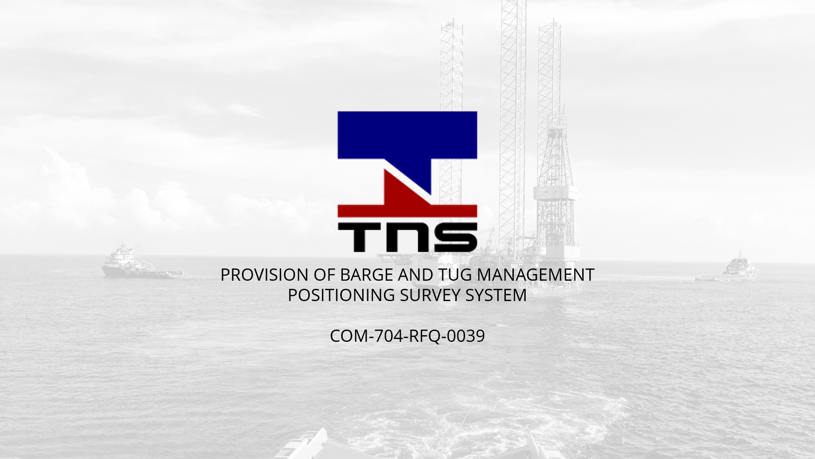
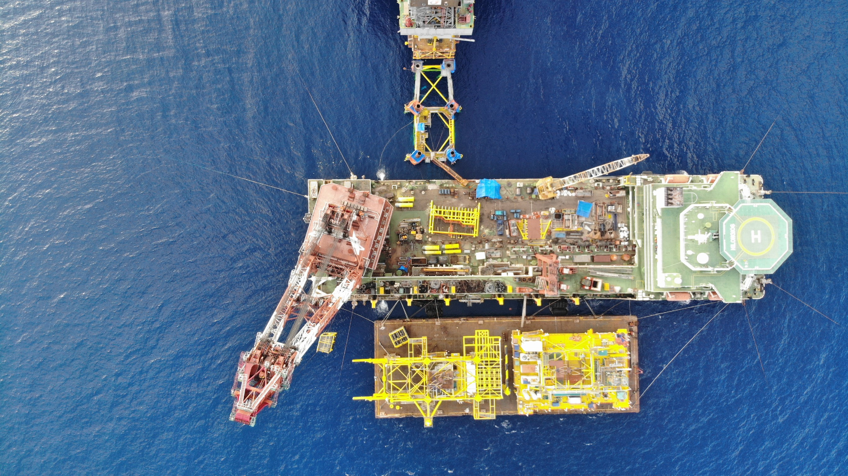
The contract covers the Provision of Surveying, Navigation and Positioning Services (Package A) and Provision of Analogue and Digital (2DHR) Site Survey Services. This contract shall be supported by HGIS’ Labuan and Miri, Sarawak base offices.

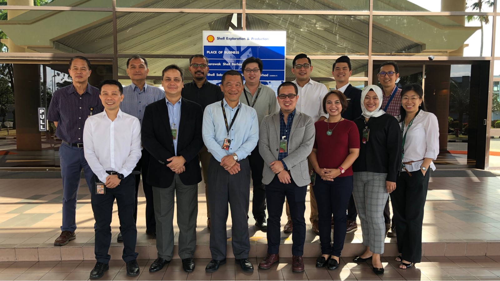
“We are extremely honoured to have been awarded not only one but two contracts by SSB/SSPC. This is a testament to our home-grown capabilities in delivering quality services safely for more than 1 million manhours. We are committed to continue in our Safety Leadership qualities and Sarawakian resourcing strategies.” said Mr. Safrisia Drahman, Chief Operating Officer of HGIS.


OBJECTIVE#1a) Offshore anchor handling and positioning for barges/workboats using Demarcation Survey System on Anchor Handling Tugs (AHTs).

b) Surface and/or Underwater acoustic positioning of the drilling rigs (including drill ship, jack-up, semi-submersible or any other type of drilling rig) and walk-away Vertical Seismic Profile (VSP) support using Barge/Tug Management System (BMS/TMS).

c) Platform deformation surveys, including Global Navigation Satellite System (GNSS) static survey and levelling surveys.

d) Onshore geodetic survey, engineering/topographic survey, and underground utility mapping.

e) Survey and positioning equipment e.g. GNSS/RTK system, levelling instrument and total station.


OBJECTIVE#2Full Analogue and/or Digital 2DHR Site Surveys, Ultra High Resolution Site Surveys, Debris Sweep Survey, Pipeline Route Surveys, Acoustic Pipeline Inspection, Geotechnical Investigations, Ad Hoc Surveys, Environmental Surveys and MetOcean.

features of this project
  • Wide range of capabilities and solutions from shallow to deep water region
  • High Accuracy DGNSS System with decimeter level accuracy
  • Dedicated Geophysical Survey Vessel equipped with full Analogue & Digital System
  • Provision of bare vessel for EIA campaigns
  • GIS / Spatial data deliverables in SSDM format
  • Pseudo 3D Data Processing
  • Data deliverables complying to National Hydrographic Centre (PHN) requirements
  • Platform 360⁰ Photogrammetry Survey and Virtual Asset Management using VAM2

Other Related Services:

Scroll Up