Provision of Comprehensive Services for Continuous Subsidence Monitoring Services for Petronas Carigali Sdn. Bhd.

TAKE A LOOK AT SOME OF OUR FEATURED PROJECTS

project description

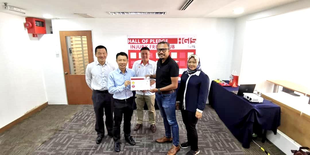
On 15th February 2019, HGIS has been awarded with 3 Years contract of Provision of Continuous Subsidence Monitoring Services for Petronas Carigali Sdn. Bhd.

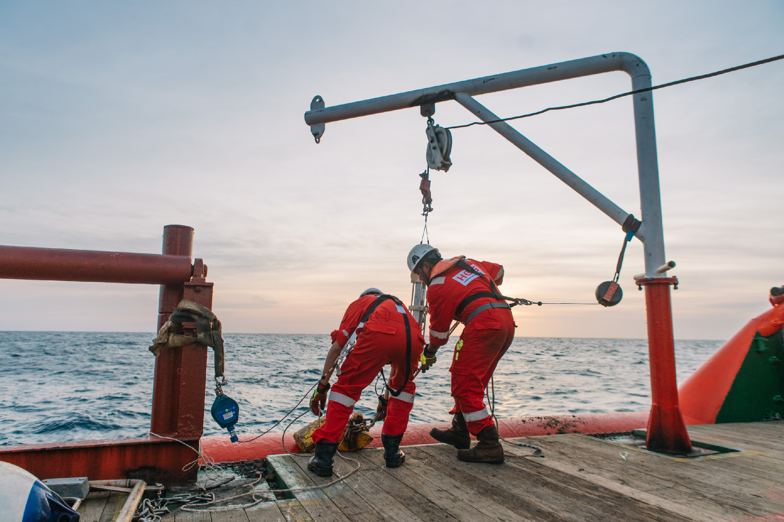
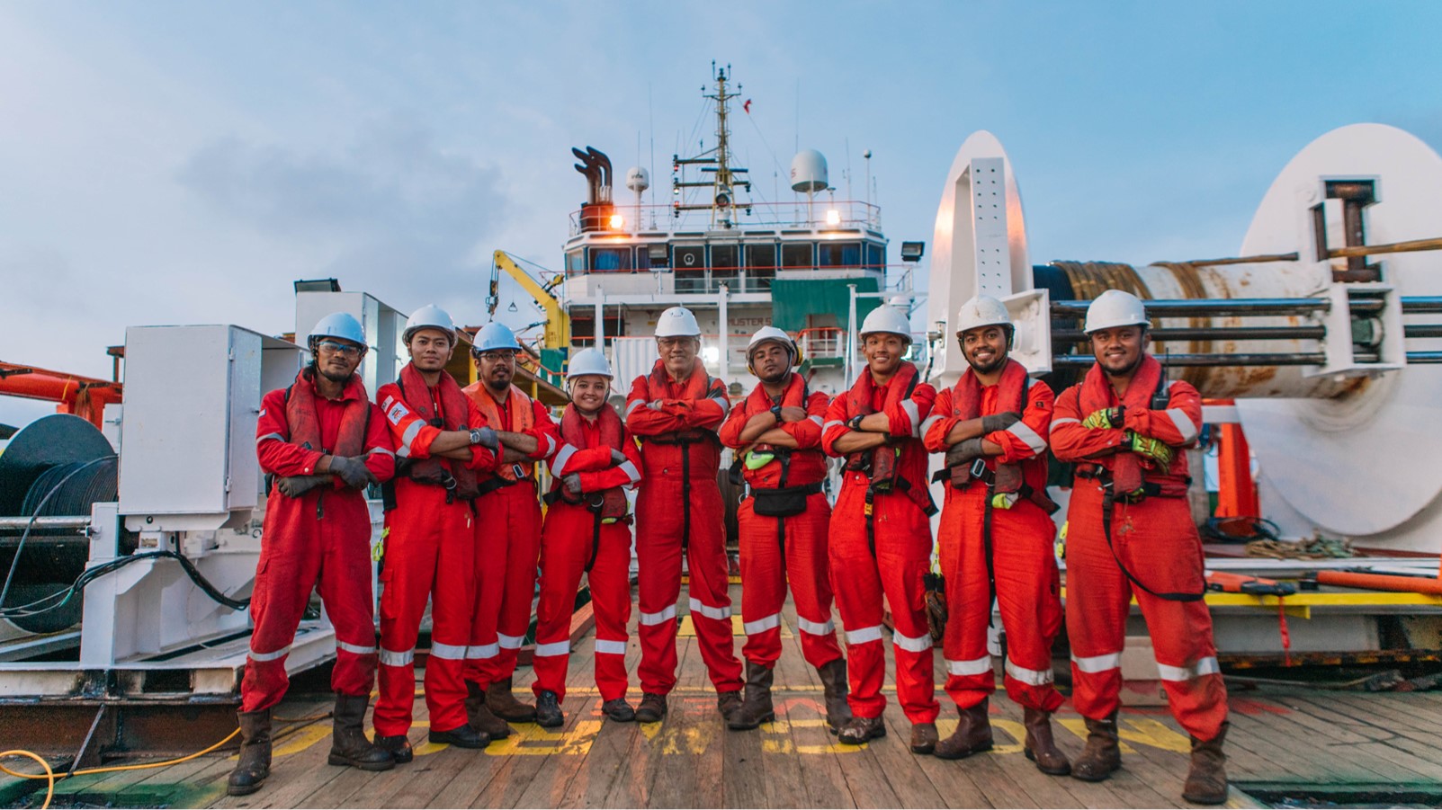
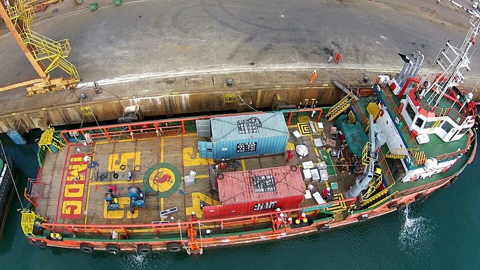
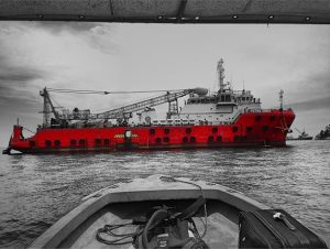
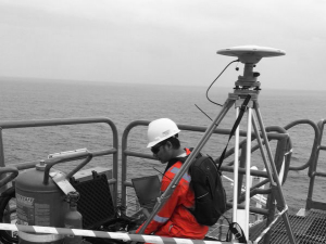
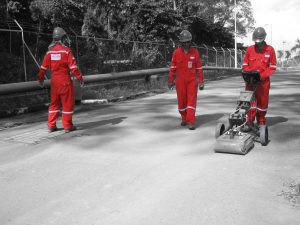
HGIS provides an Automated Continuous Subsidence Monitoring Survey (CSMS) as the operations of determining the subsidence over a constant and longer time frame, and most importantly, it provides a daily- basis result, where any significant subsidence or movement of the platform can be discovered immediately.

In collaboration with Hexagon and its subsidiaries – Veripos and Leica Geosystem, HGIS offered Online Automated CSMS that continuously logged GNSS data to monitor vertical and horizontal displacements of the platform.

Taking advantage of advance cloud computing technology, the entire data logging to high precision scientific GNSS processing process using Bernese are automated making daily live feed on Leica CrossCheck portal possible.


OBJECTIVE#1To Conduct Site Preliminary Inspection.

OBJECTIVE#2Provision of Geodetic Monitoring Type GNSS Receiver and Antenna.

OBJECTIVE#3Provision of Continuous Subsidence Monitoring System (CSMS), Support Service & Data Management.

OBJECTIVE#4Provision of High Precision CSMS or GNSS Data Post Processing (mm level accuracy).

OBJECTIVE#5Provision of Continuous Subsidence Monitoring System (CSMS), Support Service & Data Management.


features of this project
  • “Online Automated” CSMS system that continuously logged GNSS data to monitor vertical and horizontal precision of the platform
  • Automated High Precision GNSS data post-processing strategy using Bernese software
  • High end reference network using IGS Products
  • Auto-Generated monthly reporting
  • Online data portal using Leica CrossCheck 2.0 software
  • Independent Data Quality Control group of expert Geodesist and application specialist
  • Dedicated HelpDesk portal through HGIS website
  • High end GNSS monitoring receiver using Leica GM-30
  • AR 20 Choke Ring Antenna to reduce multipath
  • Independent Satellite Communication System with low-latency providing real-time data feed

Other Related Services:

Scroll Up